If the history of the dawn of a higher civilisation in Tinnevelly (Tirunelveli) could be brought to light, I have no doubt that the Tamraparni would be found to occupy the most prominent place in the picture. It must have been the facilities afforded by this stream for the cultivation of rice which attracted to its banks family after family of settlers from the north. This river, like the Kaveri, but unlike most Indian streams, is fed by both monsoons — the south-western and the north-eastern — and is seen in full flood twice a year. It flows through a narrow but very rich alluvial valley, originally formed by itself, when natural forces appear to have been stronger than they are now, by the process of denudation, and then filled up by itself in later periods by the process of sedimentary deposition. It flows smoothly to the sea without torrents and along a bed which, instead of being hollowed deeper and deeper every year, and thus becoming less and less capable of being utilised for irrigation, gets silted up a little from year to year. At length in the lower half of its course, between Palamcotta (Palayamkottai) and the sea, it has become necessary to confine it within artificial banks. Such a river would necessarily prove an attraction to settlers, if not from the very first, yet at least from the first appearance in the district of a people systematically practising agriculture and acquainted with the cultivation of rice by irrigation.
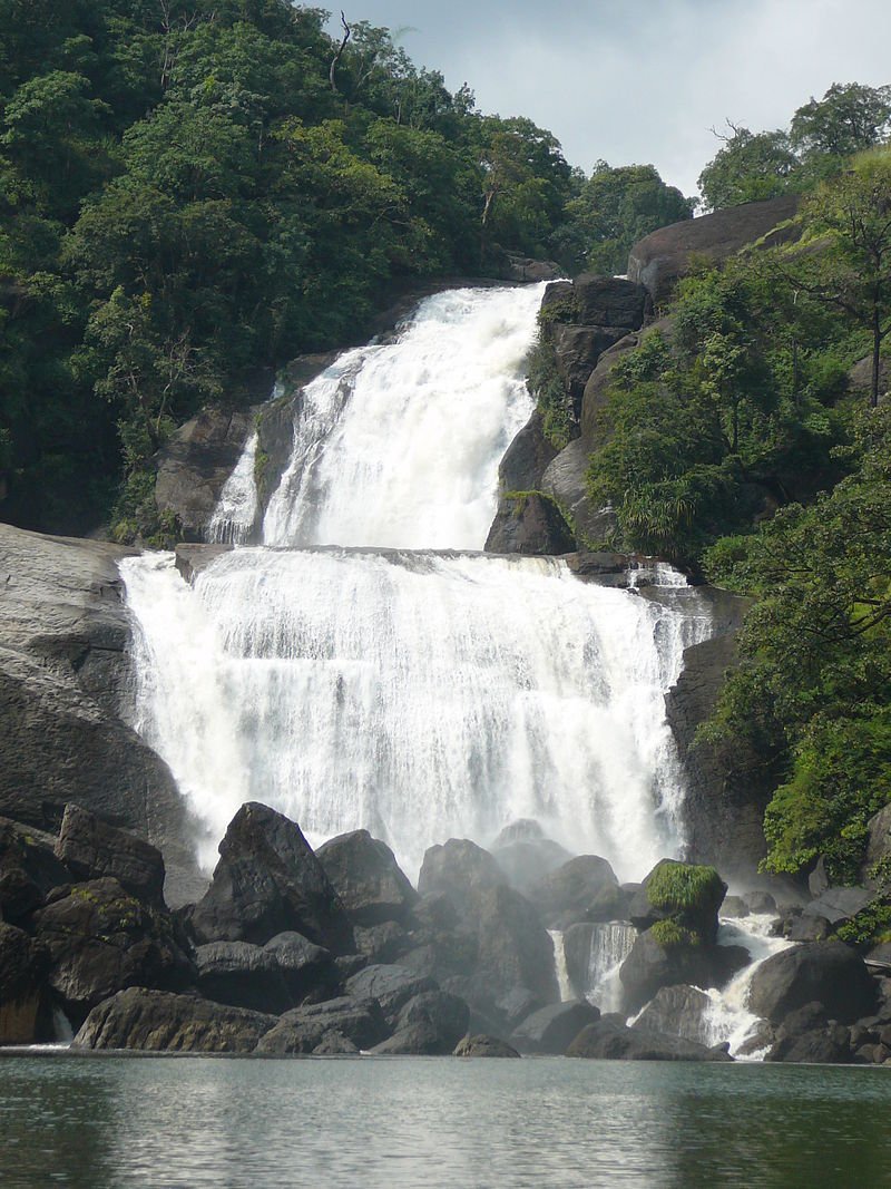
The Tamraparni rises on a noble conical mountain called Potigai (Podhikai), more commonly called Potiyam, or Potiya-ma-malai, the meaning of which is probably "a place of concealment." Locally it is called Periya Potigai, the great Potigai, to distinguish it from a smaller mountain adjoining it called Aindu-talai Potigai, the Potigai with the five heads. This mountain is the highest in the Tinnevelly range of ghats, being 6,800 feet in height, and is regarded by native poets as the distinguishing mountain of the Pandyas, one of the titles of the Pandya king being 'lord of Potiyam'. This mountain stands back nearly ten miles from the rest of the mountains of the range and is visible from Palamcotta, the capital of Tinnevelly, and still more distinctly from Trivandrum, the capital of Travancore, on the western side of the range. It is usually called Agastyar's Hill, from the tradition that the great rishi Agastya, when he retired from the world after civilising the south, took up his abode in its inaccessible recesses of the Pothigai.
Disclaimer: All posts are moderated and must cite original sources to maintain a respectful, informative space.
Copyright ©2025 - All Rights Reserved.
Designed & Developed with ❤️ Motherland Creators